Refuge has a manager for part of the year
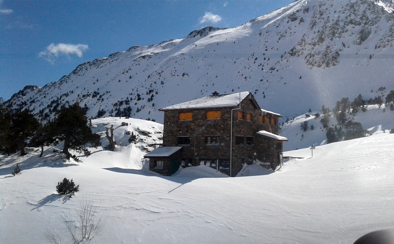
Located in the Communal Natural Park of Comapedrosa, in the municipality of La Massana. It is located next to the Etang des Truites and at the foot of the highest peak in Andorra (2.942m), which gives the name to the refuge and the park. To get there, the path starts at the parking lot of the Vallnord-Pal Arinsal ski resort, Arinsal sector. You go up on foot by the path that leads to the Etang des Truites (700m. Difference in level) following the GR11, for approximately 2 hours. This route allows you to admire two waterfalls of the Comapedrosa river. The refuge was inaugurated in 1992, it is guarded during the summer and offers all the services of bar, catering, toilets, hot water showers, fireplace, stove, cooking area, bunk beds with blankets and telephone. The area is provided with a network for mobile phones. Next to the guarded refuge, there is a free refuge open all year round with 4 beds, and a log fire. The refuge is on major roads such as the GR11, the GRT des 3 nations and the Coronallacs road. It is on the path connecting the Vall Ferrera, Etang Fourcat, Gîte de Mounicou, Els Estanys de la Pera and the other three shelters in Andorra (Sorteny, Juclar and Illa).
 © ENTREPYR
.jpg)
.jpg)
.jpg)
.jpg)
.jpg)
.jpg)
.jpg)
.jpg)
.jpg)
.jpg)

.jpeg)